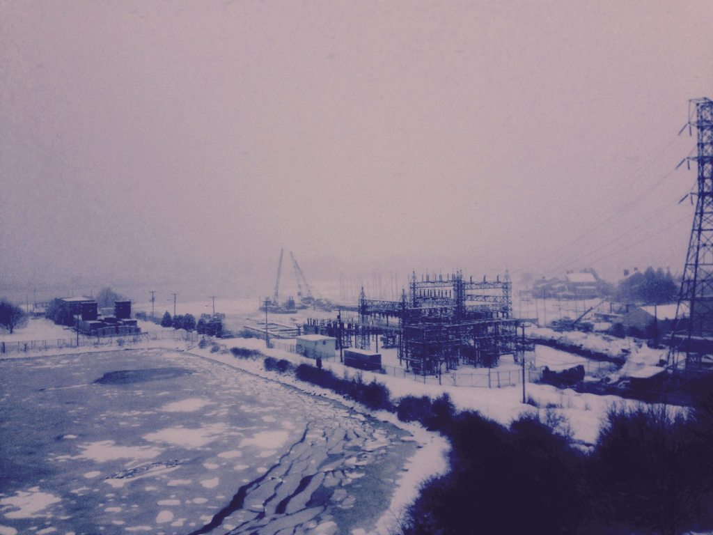
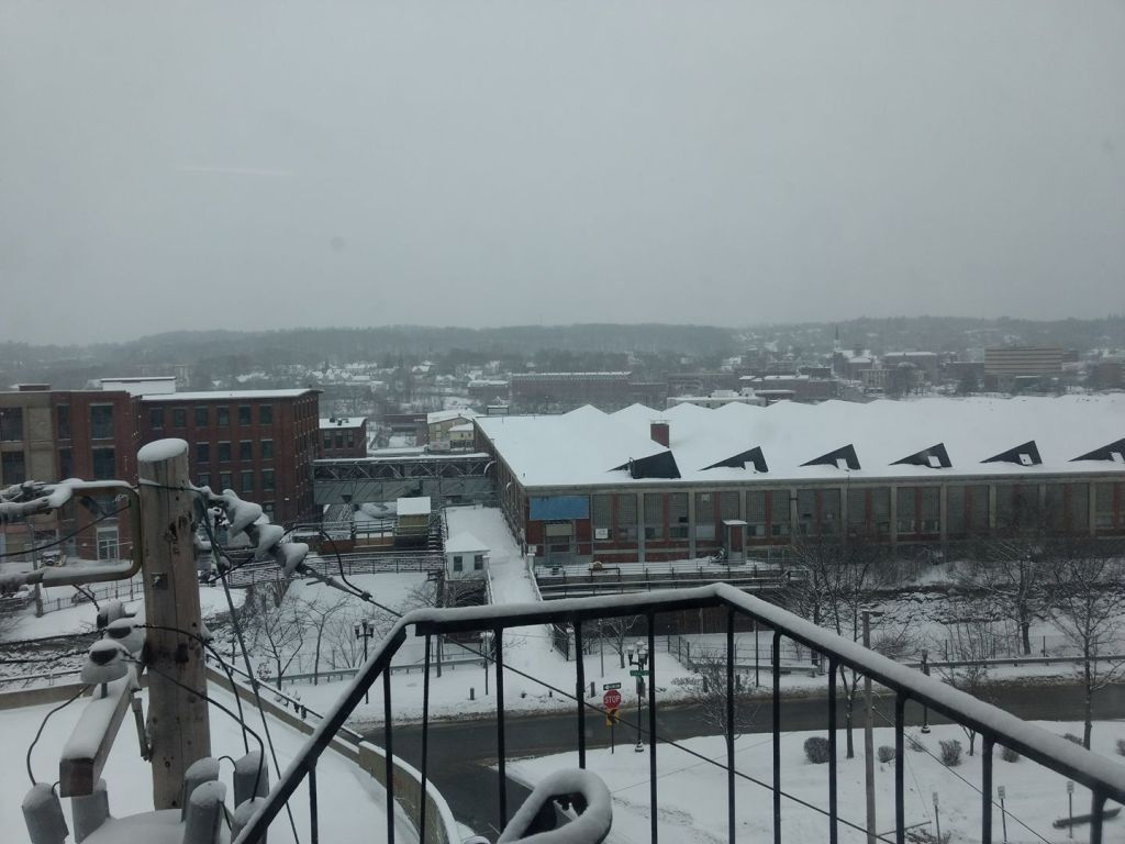
Wednesday’s snowstorm is just that: A snowstorm. Although it’s occurring during the middle of the day, affecting schools and travel, there is no wind or coastal flooding involved. Widespread amounts of 4 to 8 inches are falling, with a bit less in the mountains and a bit more in some Down East towns.
Thursday will be a much brighter day as high pressure starts to build in. A cold front will sag south overnight Thursday night, with a few mountain flurries. Both Thursday and Friday will be seasonable with highs in the upper 20s to low 30s.

After this storm, there are no major ones in the forecast for the next five or so days. Broad high pressure will dominate the Eastern Seaboard, meaning a quiet late week and weekend.

High pressure over the Eastern Seaboard. Image courtesy WeatherBELL.
A southwest flow will start to become established as this high drifts offshore. This is a warmer-weather wind direction. Temperatures in the 40s are likely, and it’s possible a few towns will approach 50 degrees. It looks like a quiet weekend overall, with a mix of clouds and sunshine.
The only forecast question has to do with a weak “back door” front that could slip south on Sunday. At the moment, Sunday looks like a “split-state forecast” at best, with chillier air in northern Maine and mild air in southern Maine. Temperatures may be in the 20s far north but nearing 50 far south, depending on the location of this front.

Colder air will lurk over northern Maine on Sunday. Image courtesy WeatherBELL.
Send questions/comments to the editors.


