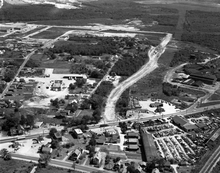
An aerial photograph from the July 13, 1960, Portland Evening Express shows the construction of Rumery Street in South Portland’s Cash Corner neighborhood. Route 1 (Main Street) is visible at the bottom of the photograph.
Today, the Hannaford distribution warehouses (visible in the upper left of the modern day Google Earth view) dominate the neighborhood.
Send questions/comments to the editors.


 Google Earth image