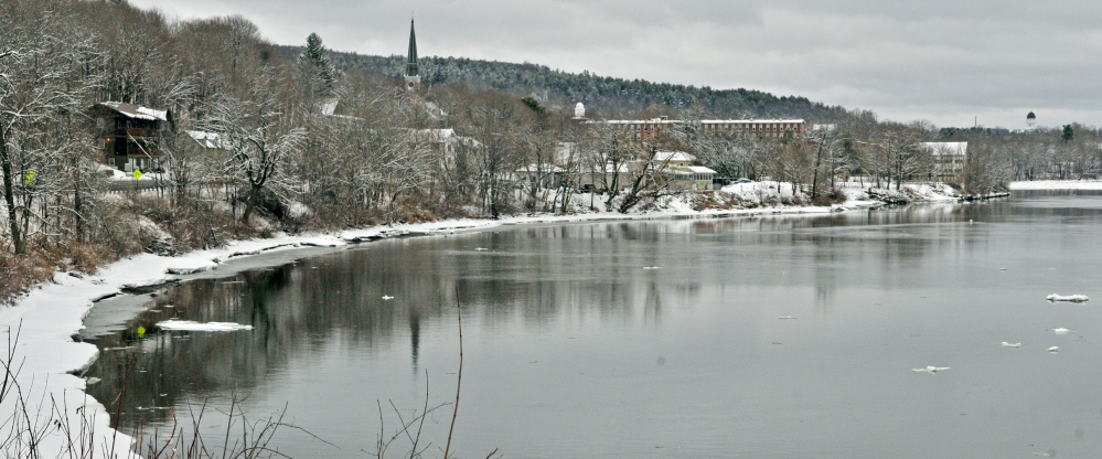
Ice has cleared out of the Kennebec River, but rain predicted for next week has forecasters concerned about the possibility of flooding along the river in central Maine.
Gregory Stewart, supervisory hydrologist for the U.S. Geological Survey in Augusta, told a state commission Thursday that the 1 to 3 inches of rain forecast for Monday and Tuesday is worth watching. Any danger of flooding will depend on the intensity of the rain and the temperature.
Still, the River Flow Advisory Commission said that flood potential will be above normal for the state for the next two weeks. The commission, which includes representatives from state and federal agencies, plans to meet again April 23 following the first expected storm and before another expected for the end of next week.
Stewart said back-to-back rain storms would be concerning, but it’s too early to tell what will happen, especially for the second forecast storm. If the rain is warmer and more intense, it will cause more of the snow packs in northern and inland counties to melt, he said.
The Kennebec River and its tributaries are already high, so that increases the chance of flood, Stewart said.
Gov. Paul LePage said in a news release that the state is monitoring flood potential very closely and is especially concerned about the potential for ice jam flooding. There is ice jamming on the St. John and Aroostook rivers, but there is not potential for ice jamming on the Kennebec River or any other areas in Maine, the commission said.
“I encourage all Mainers, especially those who live and have businesses in flood-prone areas, to stay informed on the potential for flooding,” LePage said in the release.
Send questions/comments to the editors.


